Mixed media (archival ink, acrylic medium, pigment)
26 x 50.5cm
30 x 56cm
Edition of 10
Mixed media (archival ink, acrylic medium, pigment)
26 x 50.5cm
30 x 56cm
Edition of 10
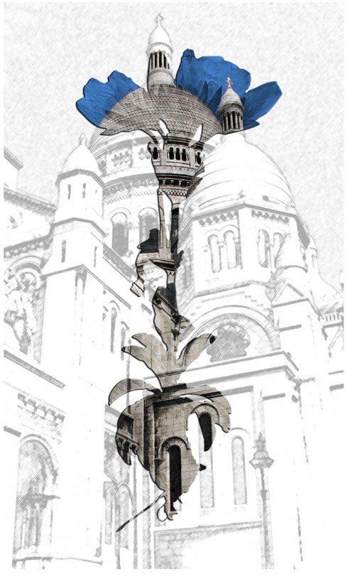
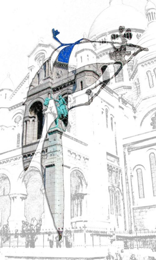
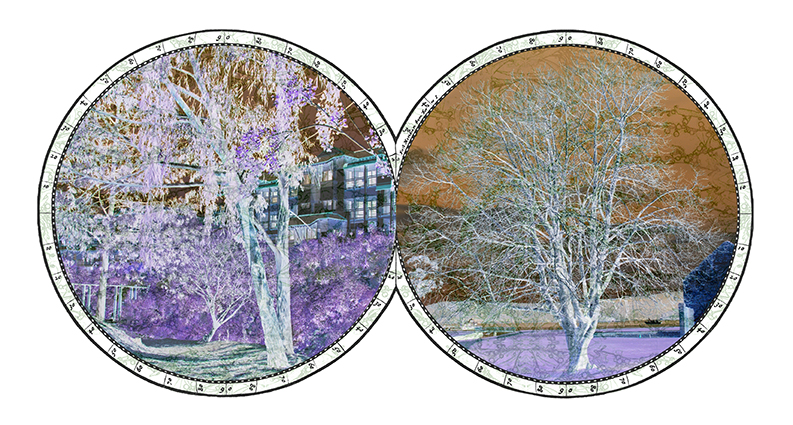
Southern Circles – John Ingleton artist’s statement
For someone like me who has spent a number of years immersed in the archives of the early French (and British) explorations of Tasmania the title, Southern Circles conjures up vision of early attempts to display maps of the world in a way that was easy to understand – representing the world in the form of a globe.
In the west this format goes back to at least 1500 although the more recognisable double circle format of Mercator’s map does not appear to have been used before 1569. This format was followed by Wytfliet (1598) and Visscher (1663) and by the 18th century was being used by many people including the Japanese. However, it appears as though the earliest use of a similar double circle device was by the Chinese. A recent unveiling (2006) of a 1763 copy of a 1418 map in a similar design is deemed to be that used by the famous Chinese navigator Zheng He in his explorations which reached as far as Africa and (possibly) the Americas.
In this work I have used circumferential markings similar to Mercator to denote mapping but have inserted images from specific longitudinal references to reveal glimpses of the land that lies thereupon. Working from my own photographic images I have worked to reveal an alternate view of the everyday which, hopefully, shows some of the mystery that still exists at the bottom of the world. The images have been digitally printed then partially over painted with acrylic medium and pigment.
Receive email updates on our classes, exhibitions, artists, and more: